Most people would associate Hawai'i with surf, sun, sand and the sea. Hawai'i is also home to the world's most active volcanoes and Maunakea, the world's tallest sea mountain (it is 13,796 ft above sea level or 33,500 ft measured from its oceanic base). O'ahu, where state capital Honululu is lcoated, was created 2.5 - 4 million years ago with volcanic eruptions from 2 shield volcanoes. (Sources: www.gohawaii.com and brochure and signboards from Department of Land & Natural Resources) Beside the 4Ss, the hiking trails are definitely worth the visit.
Leahi
 |
| Waikiki and Diamond Head |
 |
| 99 steps |
This easy trail includes two sets of stairs, totaling 175 steps, as well as dark, 225 feet long underground tunnels and old military bunkers.
 |
| Observation post for Fort Ruger |
 |
| Diamond Head crater |
 |
| Too many people |
I enjoyed the walk to Diamond Head and the view from the top but not the walk up Diamond Head. It was very hot and too crowded for my liking.
 |
| Really too many people |
 |
| From L: Waikiki Beach, Fire Control Station Diamond Head, Diamond Head crater |
To get to Diamond Head, you can take bus 22 from Waikiki and stop at the University of Hawai'i, cross the road and walk up to the entrance to pay a $1 entrance fee. Otherwise, you can do what I did and walk forever from Waikiki beach, turn off at Monsarrat Avenue and then continue on Diamond Head Road to the entrance. It was really hot in January but I did see some timid Java sparrows, a really old Ford and some nice sceneries along the way.

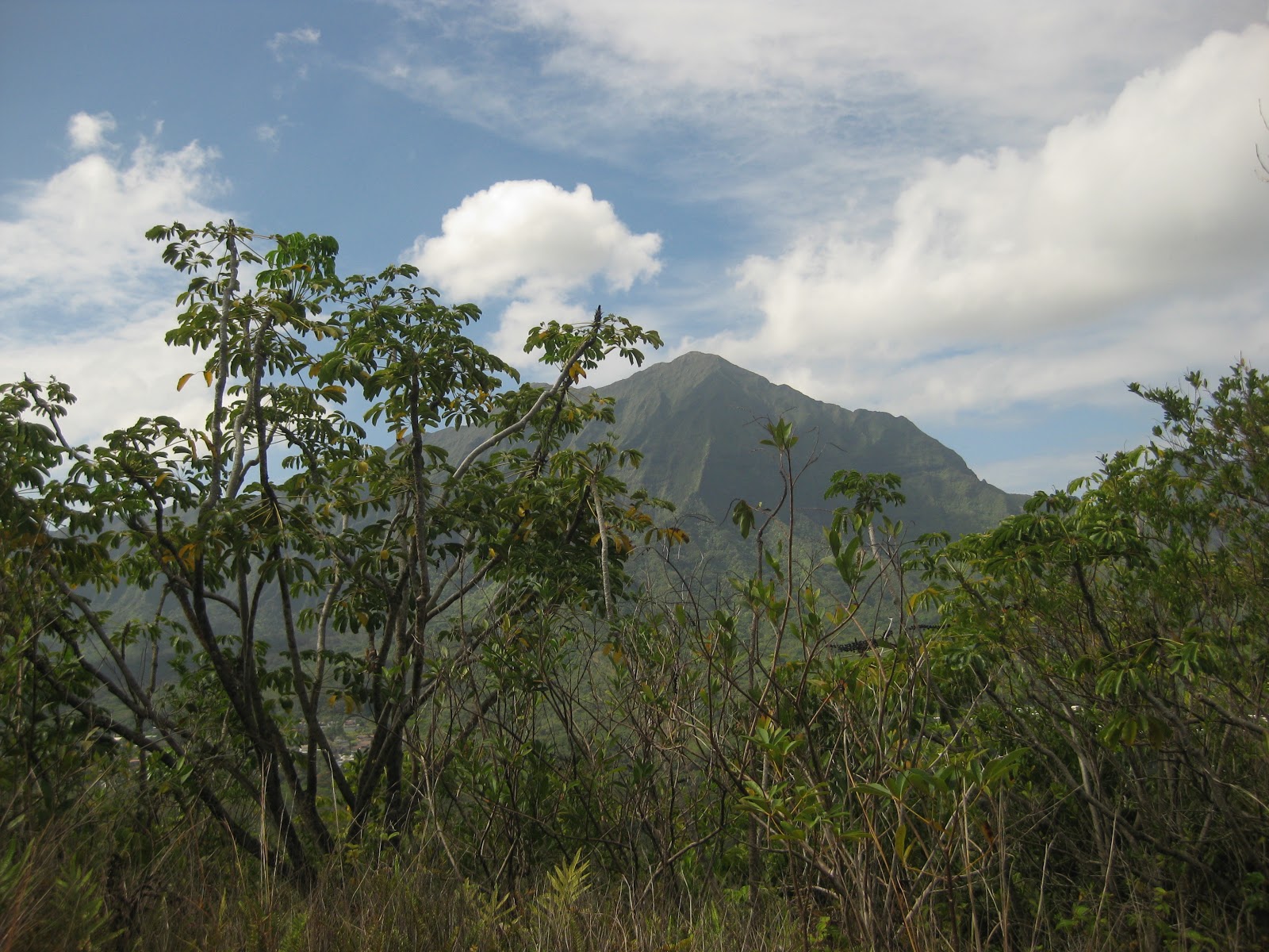
Makiki Valley
I had wanted to go to the Honolulu Watershed Forest Reserve. Instead, my hotel concierge directed the taxi driver to Hawai'i Nature Centre in Makiki Valley. A part of the Hawai'i Trail and Access System or Nā Ala Hele (which means "trails to go on"), there are 18 linked trails in the area alone alone. The Makiki Valley watershed is bounded by Tantalus Drive ridge on the north and Round Top Drive ridge on the south (about 800-2,000 feet above sea level) and catches and collects rainwater. The rainwater replenishes the ground water supply and is used by Board of Water Supply to provide water to Honolulu's residents. (Sources: www.hawaiitrails.org and Hawaii Nature Centre signboards)

Since I was sent to Makiki, I thought I might as well take a walk in the area. I chose the Maunalaha Trail to connect to Ualaka'a Trail 'A' and then to a viewing point. The trails were very easy and gentle sloping but were either muddy and slippery or full of roots.


 |
| Japanese white eye |
 |
| Awww... |

 |
| View of Waikiki from Makiki |
 |
| Waikiki |
Honolulu Watershed Forest Reserve
From Makiki, I rang for a cab to bring me to Honolulu Watershed Forest Reserve but none came. While waiting, I spied some parakeets:

A taxi driver who was walking a dog offered to send me there instead.
 |
| Taxi driver with dog |
I stopped at the gate to Royal Hawaiian Golf Club and checked in with the very friendly and helpful guard (he could provide information about the history, geography and different treks in the area if you care to listen). From the entrance, I walked along the road until I reached a sign post on the left:

Walking on the really muddy trail and I soon passed by an eerie-looking house.

The trees were more sparse and the well trodden path was drier and hotter as I ascended. The view got better too.


Very soon I reached some sections with ropes. I did not use the ropes because I trust myself to scramble up and slide down on the rocks more than the tree branches/ trunks that were going to hold my weight.

 |
| First peak |
The roped sections led to narrow, rocky ridges and the peaks. There are 3 peaks on the Olomana Trail. The boulders on the first peak was slightly too big for me and I had to figure a way up with a bit of rock climbing.
I did not proceed to the second and third peaks due to time constraint and also because some army dude on the trek told me it would be unwise for me to venture further on my own.
Of the 3 treks, I like the this one the most - it has a good mix of easy and challenging parts, a slight hint of danger at the top and the view is simply amazing.
 |
| 2nd and 3rd peaks |
 |
| 360 degree view from 1st peak |
I ran out of water while I descended. If the guard at the gate were to sell me a can of Pepsi (which I do not like) for US$10, I would readily buy it from him. This is a real business opportunity, Hawai'ians!

To get back to Waikiki, you could call a cab and hope that it comes or walk away from the golf course, cross the highway and take bus 56 or 57 (it costs only US$2.50!) to Ala Moana and from there, take a bus or taxi back to Waikiki.
No comments:
Post a Comment