Cadaqués is a town in the province of Girona, Catalonia, Spain. It is not only famous for being near to Roses, where elBulli is (booooo!!! why is it closed now that I am here?) or being near to Portlligat, where Casa-museu Salvador Dalí is. It is also surrounded by Parc Natural Cap de Creus (Cap de Creus Natural Park), the other draw for me to visit the town.
Parc Natural Cap de Creus "sits on geological levels of more than 450 million years" and "has a very abrupt coast, with deep waters, and plenty of tiny islands, very high cliffs, reefs of rocks made stark by erosion and the winds; meadows and forests inland and small hidden bays with transparent water, often only accessible from the sea" (source: Patronat de Turisme Costa Brava Girona). The park is next the Balearic Sea and Mediterranean Sea. In 1984, it became a natural protected open area under the category of natural park and the protected area spans "13,886 hectares, of which 10,813 hectares are land and 3,073 are maritime area" (source: Patronat de Turisme Costa Brava Girona). The protected area covers both land and sea, which makes it special.
I had planned to visit Cap de Creus the day after I visited Casa-museu Salvador Dalí. It was raining the day I arrived at Cadaqués and was still drizzling in the morning I was to go for the walk at the park. As I am not sure of the terrain, I checked with the Cadaqués Tourist Office if it is safe to walk to Cap de Creus. I was told it may rain but otherwise, it is alright to go for the walk.
I stopped to get food at esfornet (They serve good coffee and the breakfast is good too. This is where I first tried tortilla de patatas. Yummy!):


Followed along the road,

 |
| This is the first time I have seen green cones! |
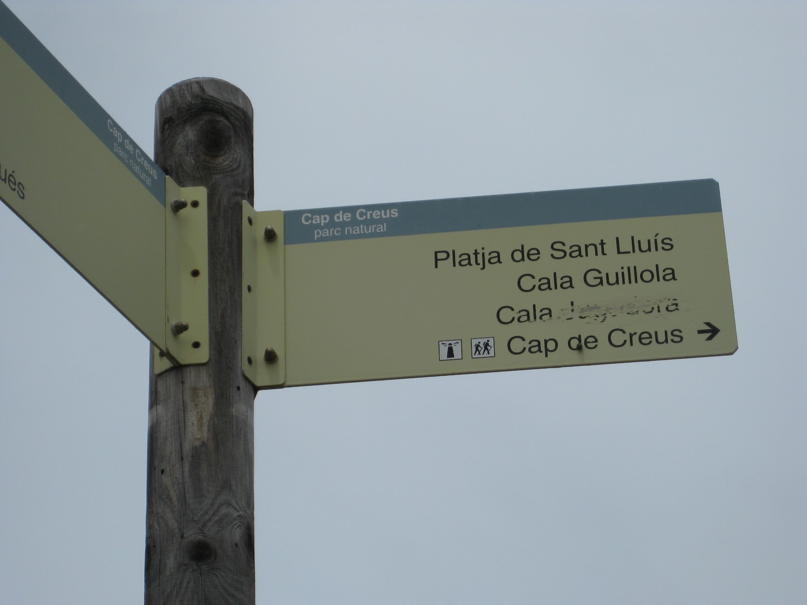

The route through the hills was fairly easy. There were a bit of scrambling at times because (alas!) my legs are not long enough and my hands had to help. The weather held up as I walked to the lighthouse at Cap de Creus. It was a Monday and was rather quiet. I met 4 people walking from the Cap de Creus towards Cadaqués and there were only 2 people walking somewhere behind me.


 |
| Aiming for the building in the middle of the picture. Too small? That's because it is REALLY far away. |


 |
| See - the building is getting bigger! |


At some stage, the route coincided with the GR 11, an approximately 840km trail in the North of Spain:

 |
| Red/white = GR11, Green/red = my trek |

 |
| The goal is finally recognisable |


 |
| Just a bit more now |


And after 3 hours, I finally made it to the lighthouse in Cap de Creus. This lighthouse is also at the most easterly point of the Iberian Peninsula.

 |
| We are here! Faro del Cap de Creus |

After reaching the lighthouse, I walked out to the stones/cliffs/whatever you call them to have lunch (at 3pm):


 |


It began to rain and I had to walk back in the rain for 2 hours (I stopped taking pictures and did not have to use as much time to figure the way back).
 |
| Wet me |
 |
| Wet dog |
 |
| Wet Cadaqués |
Ate my dinner while watching SNSD on TV:

